Moffitts Antiques
Antique 1793 John Cary Map of Somersetshire Somerset Hand Coloured Framed
Antique 1793 John Cary Map of Somersetshire Somerset Hand Coloured Framed
Couldn't load pickup availability
An original antique copper-engraved map of Somersetshire by John Cary (1755-1835), published in London 1st January 1793 for Cary's New and Correct English Atlas. Presented in a glazed gilt-and-wood frame.
Cary is regarded as the finest English county cartographer of his generation; his maps favour clarity and accuracy over heavy ornament and were considered the equal of the early Ordnance Survey. This example retains its original outline hand-colouring and shows the county in fine detail with the Bristol Channel, neighbouring Gloucestershire, Dorset and South Wales, a compass star and engraved scale.
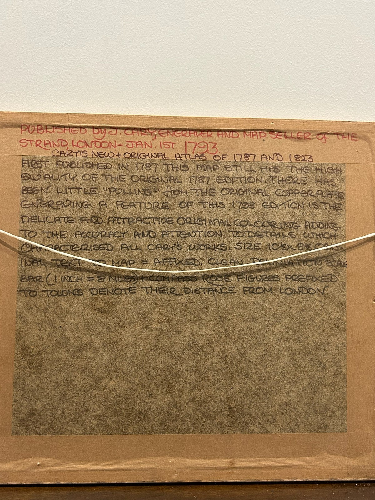
The reverse carries a collector's descriptive note recording it as a print from the original 1787 plate as issued in the 1793 atlas. Clean engraving with good plate impression.
Marks: engraved imprint to lower margin, 'London Publish'd Jan.y 1.st 1793 by J. Cary Engraver & Map seller Strand'. Size: approx. 35 x 30 cm in the frame.
Condition: good for age; light toning and occasional spotting as normal; original colour. Sold framed and ready to hang. Photographs form part of the description.
Carefully packed and dispatched promptly. UK and international postage available; combined postage offered on multiple purchases.