Moffitts Antiques
Antique Owen Bowen Britannia Depicta Road Map Kent Maidstone Leeds Castle
Antique Owen Bowen Britannia Depicta Road Map Kent Maidstone Leeds Castle
Couldn't load pickup availability
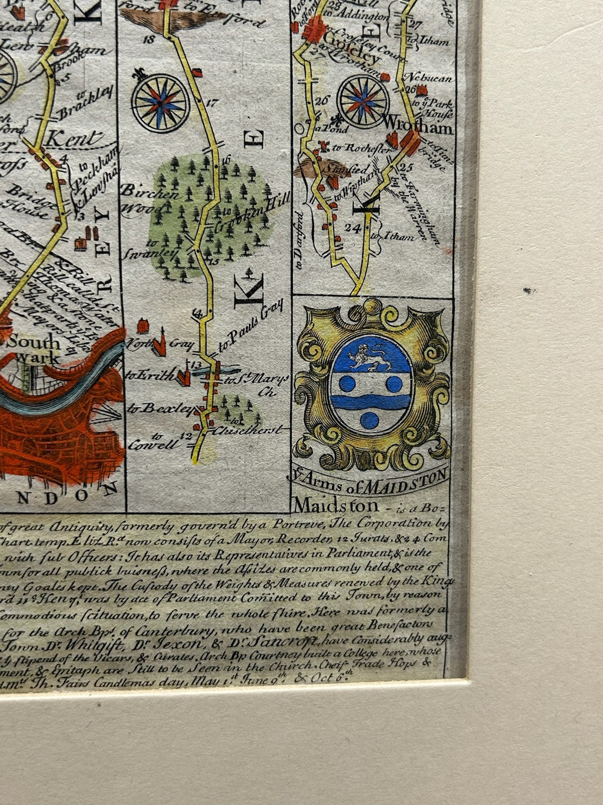
An original antique strip road map from Owen & Bowen's Britannia Depicta, or Ogilby Improv'd (first published 1720), covering Kent - the road out of London through Eltham, Aylesford, Leeds Castle and Maidstone towards Gravesend. Presented in a window mount, ready to frame.
Page 48 of the atlas, with the characteristic armorial cartouches (including the arms of Maidstone), antiquarian notes on Leeds Castle and Aylesford, and original hand-colouring to the roads and devices.
Marks: as issued in Britannia Depicta, numbered 48; engraved both sides. Size: sheet approx. 29 x 23 cm in the mount.
Condition: good for age with light toning; original colour. Mounted, unframed. Photographs form part of the description.
Carefully packed and dispatched promptly. UK and international postage available; combined postage offered on multiple purchases.