Moffitts Antiques
Antique Owen Bowen Britannia Depicta Road Map Somerset Bridgwater Framed
Antique Owen Bowen Britannia Depicta Road Map Somerset Bridgwater Framed
Couldn't load pickup availability
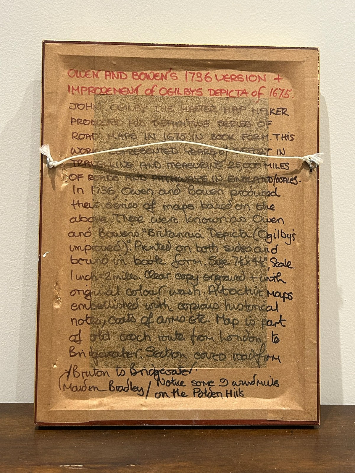
An original antique strip road map from Owen & Bowen's Britannia Depicta, or Ogilby Improv'd - the celebrated pocket road atlas first published 1720 and reprinted for some thirty years. Framed and glazed. A collector's note to the reverse attributes this example to the 1736 issue.
The page covers the coach road through Somerset - the Bruton to Bridgwater / Maiden Bradley section - in the distinctive vertical-strip format pioneered by John Ogilby in 1675 and 'improved' by Emanuel Bowen and John Owen, who filled the surrounding spaces with heraldry, antiquarian notes and the arms of Bridgwater. It retains its original colour wash and shows windmills on the Polden Hills.
Marks: as issued in Britannia Depicta; scale one inch to two miles; engraved both sides (county/road map to verso). Size: approx. 28 x 20 cm framed.
Condition: good for age with light toning typical of a double-sided book leaf; original colour. Sold framed. Photographs form part of the description.
Carefully packed and dispatched promptly. UK and international postage available; combined postage offered on multiple purchases.