Moffitts Antiques
Antique Richard Blome Map of Shropshire Britannia 1673 Hand Coloured Framed
Antique Richard Blome Map of Shropshire Britannia 1673 Hand Coloured Framed
Couldn't load pickup availability
A scarce 17th-century county map of Shropshire by Richard Blome (1635-1705), from his Britannia, or a Geographical Description of the Kingdoms of England, Scotland and Ireland. Blome's Britannia county series was first printed in 1673 (the work having been announced for subscription in 1671). Handsomely framed and glazed.
The map carries Blome's characteristic decorated title cartouche and a dedicatory cartouche with coat of arms, dividing the county into its hundreds with neighbouring Denbighshire, Staffordshire, Montgomeryshire, Worcestershire and Herefordshire named around the borders. It retains bright original hand-colouring.
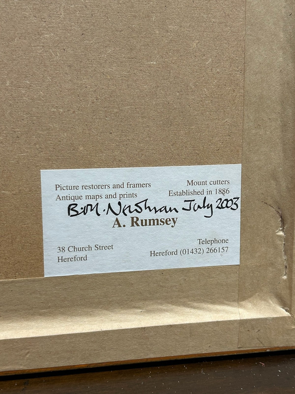
Provenance & framing: professionally framed and conserved by A. Rumsey, Antique Maps & Prints, 38 Church Street, Hereford (label to reverse, dated 2008). A collector's note to the reverse records the Britannia origin and original hand colour.
Size: approx. 40 x 35 cm framed; engraving approx. 12.5 x 10 inches. Marks: as published in Blome's Britannia.
Condition: good and presentable for a sheet of this age; light toning and the occasional mark as expected; original colour, attractive cartouche and arms. Sold framed. Photographs form part of the description.
Carefully packed and dispatched promptly. UK and international postage available; combined postage offered on multiple purchases.