Moffitts Antiques
Antique Thomas Dugdale Somersetshire Somerset Map c1850 Hand Coloured Framed
Antique Thomas Dugdale Somersetshire Somerset Map c1850 Hand Coloured Framed
Couldn't load pickup availability
An original antique map of Somersetshire by Thomas Dugdale, from England and Wales Delineated, circa 1850. Framed and glazed, with attractive hand-colouring.
A clear and decorative county map showing the hundreds, a table of references, the Bristol Channel with Dunster and Porlock and - characteristic of its date - the early railways. A handsome compass rose and outline colour to the borders; small figures denote distances from London on the main roads.
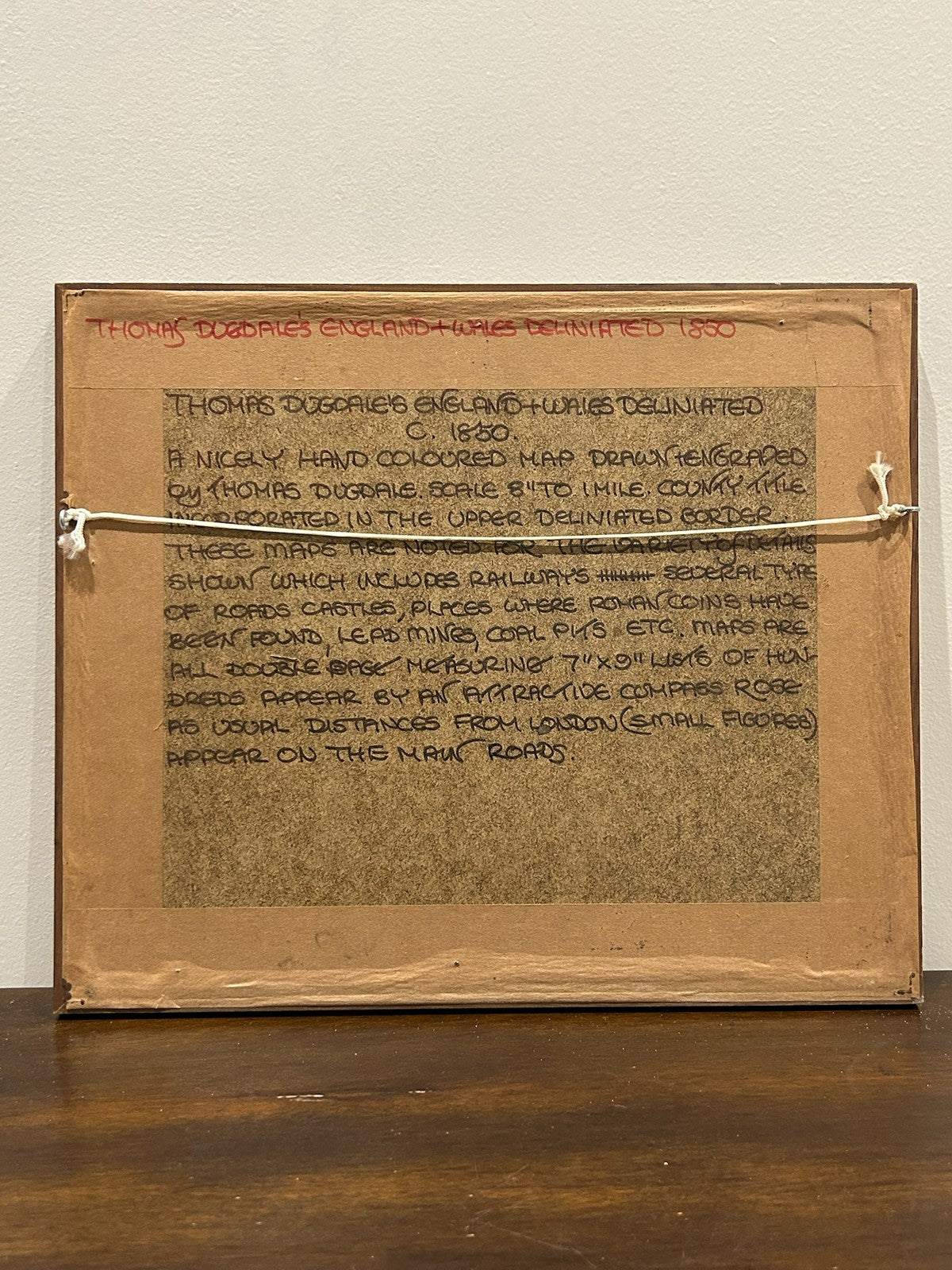
Marks: imprint 'Thos. Dugdale' with engraved scale. Size: approx. 32 x 26 cm framed. A collector's note to the reverse records the title and date.
Condition: good for age; light toning, original colour. Sold framed. Photographs form part of the description.
Carefully packed and dispatched promptly. UK and international postage available; combined postage offered on multiple purchases.