Moffitts Antiques
Antique Thomas Kitchin Map of Somersetshire Somerset 1786 Hand Coloured Framed
Antique Thomas Kitchin Map of Somersetshire Somerset 1786 Hand Coloured Framed
Couldn't load pickup availability
An original antique map of Somersetshire by Thomas Kitchin, from Boswell's Antiquities of England and Wales, circa 1786. Framed and glazed, with original hand-colouring and a titled cartouche 'drawn from an accurate survey by T. Kitchin'.
A neatly engraved county map with an 'Explanation' key, the Bristol Channel with Steepholmes and Flatholmes, Bridgwater Bay, and Crewkerne and Chard to the south.
Please note condition: the glazing glass is cracked (clearly shown in the photographs). The map itself presents well with good original colour and the frame is sound; the glass is inexpensively replaced. Sold as found and priced accordingly.
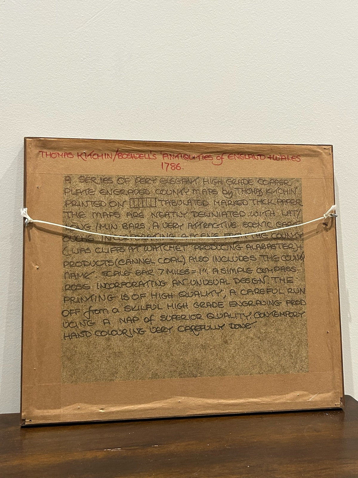
Marks: Kitchin imprint, Boswell's Antiquities. Size: approx. 33 x 28 cm framed. Collector's note to the reverse.
Condition: map good for age with light toning; FRAME GLASS CRACKED. Sold framed as found. Photographs form part of the description.
Carefully packed and dispatched promptly. UK and international postage available; combined postage offered on multiple purchases.