Unbranded
John Ogilby 1675 Road Map London to Rye Sussex Britannia Strip Map Framed
John Ogilby 1675 Road Map London to Rye Sussex Britannia Strip Map Framed
Couldn't load pickup availability
John Ogilby's strip road map from London to Rye in Sussex, from Britannia, the first national road atlas of England and Wales, first published in 1675. The cartouche reads The Road from London to Rye in Com. Sussex, by John Ogilby Esq., His Majesty's Cosmographer, containing 64 miles, supported by putti above the royal arms.
The route runs in vertical scroll-like strips from the Standard in Cornhill via Bromley, Farnborough, Sevenoaks, Tonbridge, Lamberhurst and Newenden to Rye, with towns, churches, hills, rivers and compass roses along the way, in hand colour.
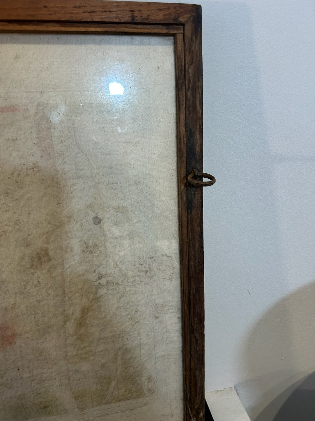
Condition: there is extensive water staining across the sheet, including over part of the title, as clearly shown in the photographs. Pencil inscription 'Ogilby 1675' on the mount. Framed in oak with glass to both sides. Please view all photographs, which form part of the description.
Framed size approx. 55 x 41 cm.
Carefully packed and dispatched promptly, with combined postage offered on multiple purchases. UK and international postage available. Please message with any questions before purchasing.