Moffitts Antiques
Pair John Ogilby Britannia Strip Road Maps Norfolk c1675 Hand Coloured Framed
Pair John Ogilby Britannia Strip Road Maps Norfolk c1675 Hand Coloured Framed
Couldn't load pickup availability
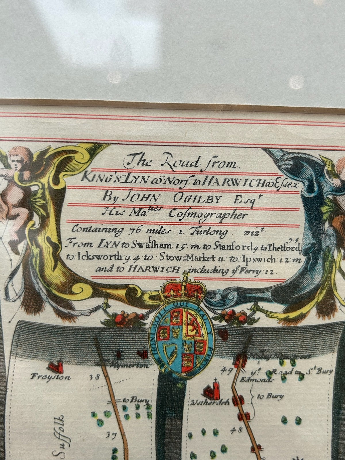
A scarce pairing of two original John Ogilby strip road maps from Britannia (first published 1675, with the 1698 re-issue), presented together in a single double-glazed frame so both sides are visible.
The maps include 'The Road from King's Lynn to Norwich, continued to Yarmouth in Norfolk', with the route shown in the characteristic vertical scrolled strips, a decorative title cartouche bearing the royal arms, and contemporary hand colouring. By John Ogilby Esq.r, His Majesty's Cosmographer.
Ogilby's Britannia was the first British road atlas and is the foundation of English road mapping; original 17th-century plates are highly collectable, and a matched pair of Norfolk roads in one frame is an unusual and decorative offering.
The frame measures approximately 42 x 37 cm. In good antique condition with hand colour and light toning consistent with age.
Condition: genuine period maps; please view the photographs closely as they form part of the description.
Dispatch: carefully packed and posted with tracking; UK and international postage available. Please study the photographs as part of the description and message with any questions before buying.