Moffitts Antiques
Vintage Wilhelmsen Lines Norway World Shipping Route Map Wall Chart c.1960s
Vintage Wilhelmsen Lines Norway World Shipping Route Map Wall Chart c.1960s
Couldn't load pickup availability
A vintage Wilhelmsen Lines world shipping route map, captioned "For Speed and Service", showing the global cargo service routes of the Norwegian shipping line as they stood circa 1960s.
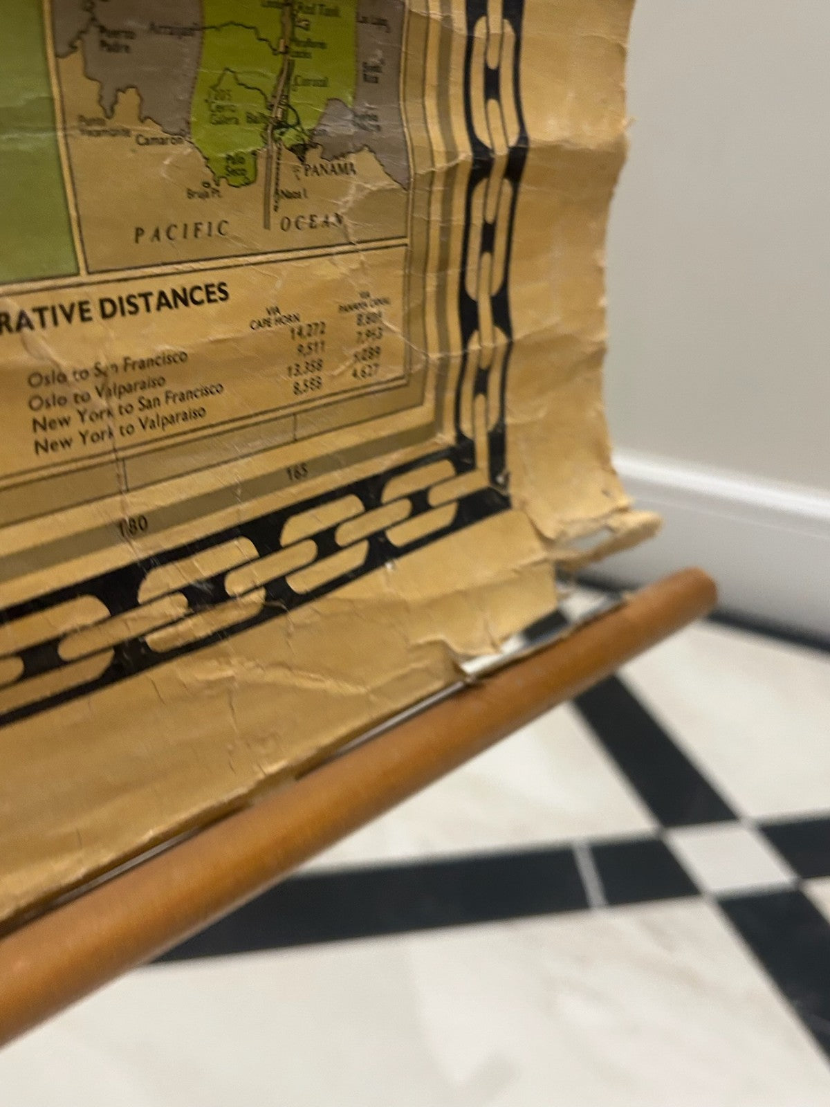
The map presents a Mercator projection of the world with Wilhelmsen Lines routes overlaid in dashed lines, with company logo, ship illustrations, and tabulated comparative distances (Oslo to San Francisco, New York to Valparaiso, etc.) printed alongside. The decorative borders feature stylised anchor-chain motifs in black and gold.
Wilh. Wilhelmsen ASA, founded in Tonsberg, Norway in 1861, is one of the oldest and most prominent Norwegian shipping companies. Marketing materials of this kind were produced for shipping offices, freight agents, and clients during the mid-20th century heyday of Wilhelmsen's tramp and liner services.
The map is paper, laminated, and mounted on twin wooden roller battens for hanging on a wall (top and bottom).
CONDITION: There are edge tears and creasing visible along the lower edge — please refer to the close-up photographs. The lamination is largely intact. Display-ready as a decorative maritime/Norwegian piece, but not in archive condition.
Of interest to maritime history collectors, Norwegian-Americana, shipping enthusiasts, and as decorative wall art for a study, office, or boat-themed interior.
Dimensions: Large wall chart, approximately 80 cm long on its wooden rollers (not precisely measured).
From a private UK collection. Will be carefully rolled for dispatch.